
Walking
Abbots Leigh is on the Monarchs Way. A 615-mile (990 km)[1] long-distance footpath that approximates the escape route taken by King Charles II in 1651 after being defeated in the Battle of Worcester. It runs from Worcester via Bristol and Yeovil to Brighton.
King Charles spent a number of nights at Abbots Leigh during his escape.
All of the footpath is waymarked. The waymark is yellow and shows a picture of the ship Surprise above the Prince of Wales three-point feathered crown which is superimposed on a Royal Oak tree in black.
This route is shown as a series of green diamonds on the Ordnance Survey 1:25000 Explorer maps and of red diamonds on its 1:50000 Landranger maps.
Other footpaths include part of the Gordano Round.
Download a map of walks around Abbots Leigh.
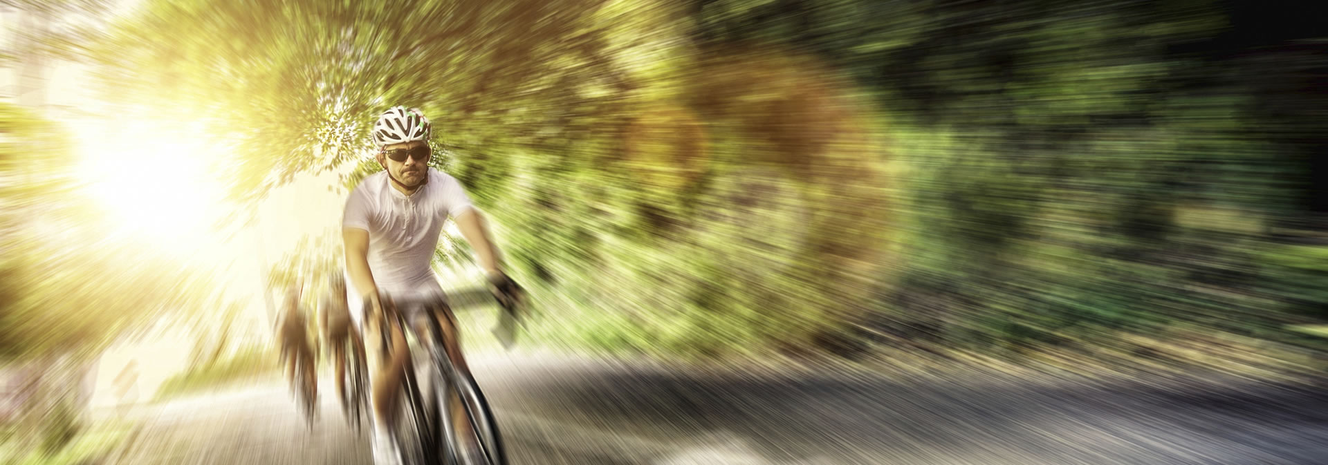
Cycling
There is a traffic free cycle path alongside the A369 between the turning to Pill and the entrance to Ashton Court. This forms part of route 334 of the National Cycle Network and links with a minor road to Clifton Suspension bridge less than 2 miles away. The island crossing point between the bus stops by Blackmoor Road gives cyclists a much pleasanter experience without cars on their tail as they slog up the hill towards Abbots Leigh.
You can download maps of local cycle routes here.
Mountain Biking
There is a 2.2 mile loop mountain bike trail in Leigh Woods with the name “Yer Tiz” built by 1SW. It is a moderate blue grade, engaging trail weaving its way through the woodland.
The trail requires a mountain bike but is suitable for relative novices. The start point is either from North Road in Leigh Woods or the Forestry Commission Car Park.
There is another 4 mile trail nearby in Ashton Court. You can download maps here.